Pueblo Alto Trail 10/25/2017
This is a great trail, once you climb up the entrance which is actually a slot in the canyon rock wall. It is nicely referred to as a Chacoan Entrance.
Once you scale up the slot you are on top of the mesa with amazing views.
On your way to Pueblo Alto you see other preserved sites like the remains of a Chacoan Road, Chacoan Steps and more.
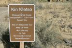
First you get to look around Llin Klesto
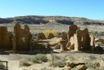
The site had about 65 rooms and 5 kivas
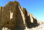
You can see the thickness of the walls
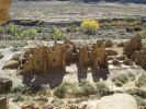
Kin Klesto as you descend from Pueblo Alto Trail
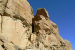
You see that dark slot up there? That is the start of the trail
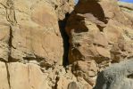
Yes, it is not very wide and you would miss it if it were not marked
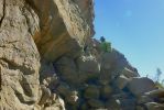
First you have to scramble up a lot of rocks just to get to the entrance
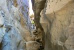
That's me heading up

And I looked back down at George.
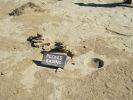
These are pecked basins. No one is quite sure of their purpose
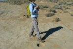
As you can see they are small
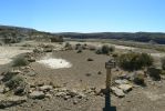
Stone Circles always contain pecked basins and are in view of kivas and great houses
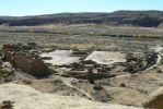
As you walk along you will have some great views of Pueblo Bonito below
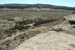
We actually did this as a side trip not realizing the trail looped around with this near the end
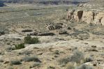
So another 3 miles - but who counts
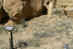
Chacoan Steps - a little hard to see but these connected Pueblo Alto with Pueblo Bonito
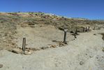
An excavated portion of a Chacoan Road. They were about 30 feet wide and very well made
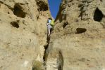
This was just a fun extra on the trail
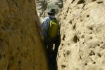
Up, then down
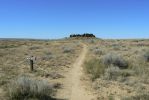
This is New Alto. Its more in-tact.
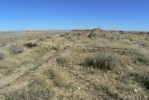
Pueblo Alto is mostly un-excavated to preserve it
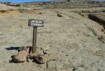
Jackson Stairway - named for William H. Jackson, a photographer with the U.S. Geological survey of 1877
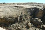
It connected Chetro Ketl and other great houses with communities in the northeast
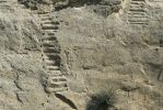
Those little round holes along the stairs were the first steps until the broader ones were carved
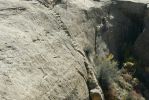
Today the steps are fragile and you can not use them
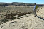
Our second tour of the mesa overlooking Pueblo Bonito. Just as nice as the first
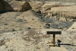
The Chacoans constructed ramps to connect their roads - we were not the first obviously
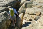
Going down from the mesa and back to Kin Klesto
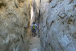
Some places I just swung over rocks - easier on the knees
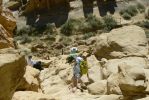
Traffic jam. I felt really happy since I could actually walk down the rocks and not scoot on my butt.

Near the bottom I looked back up to George - who was taking pictures of me and Kin Klesto
Penasco Blanco Trail 10/26/2017
Our second hike is the longest in Chaco - to Penasco Blanco.
This great house complex was built in 5 distinct stages between 900
and 1125.
This trail is relatively flat until you get to the mesa where the pueblo sits, then you climb a bit.
Along the way there are 2 side trails. The first is the Petroglyph Trail which takes you past a long wall of petroglyphs carved over various times by Pueblo, Navajo and European-Americans.
The second side trail is a little jaunt to see the Supernova Pictograph. Researchers believe this was the exploding star recorded by Chinese and Japanese astronomers about 1054. This supernova created what we call the Crab Nebula.
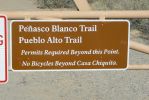
Off to Penasco Blanco
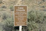
First you pass by Casa Chiquita.
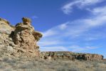
The site has never been excavated but some dirt was moved during stabilization
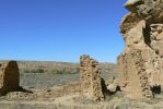
Built around 1063 to 1064. It was 2 or 3 stories high
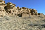
They believe there were about 34 rooms and an enclosed kiva
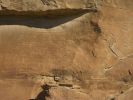
There are walls of petroglyphs. Puebloan spirals are older. The Navajo ones depict a battle. You can still make out bows and arrows.
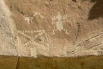
Puebloan big horn sheep, a super natural figure or a human - not sure which - and a katsina mask
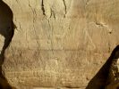
Here are some very old and a rather new picture. The hour-glass figure is Born For Water from the origin myth. The horse was etched about 1940 by a local Navajo resident. No idea why.
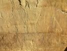
There are also some entries from later residents - pioneers and other residents
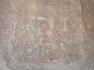
And another panel full of clan symbols and more
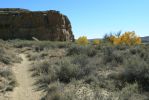
Looking back along the path
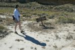
Yes, danger. Since we have not had rain in weeks we are pretty safe
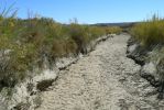
Chaco Wash - which can become a raging river after rains, thus the warning sign
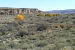
Lovely shot of the valley
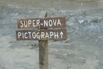
The Super-Nova side trail
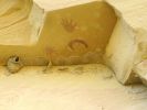
Painted around 1054 and probably depicts the exploding star that created our Crab Nebula
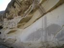
There are cliff swallow nests under the overhang by the pictographs.
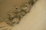
We thought they were pretty neat. Did not see any birds nesting but still liked the nests themselves
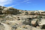
Now we start the climbing part of the hike
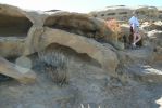
With some really neat rocks
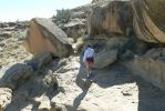
I'm just in for scale of rocks
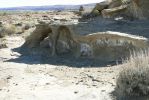
A miniature arch system
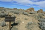
Approaching Penasco Blanco
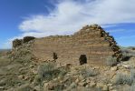
We have seen this stripped wall building before
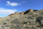
The back area
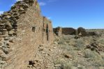
As usual the walls are very thick
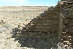
You can see the place where lodge poles once were to hold up one of the stories. The site is not fully excavated
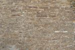
This is dry fitted stone - pretty amazing and artsy
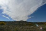
We just liked this cloud

